Coordinate System and Grid Shift Files
A coordinate system is a reference system used to represent the locations of project data within a common coordinate framework. A coordinate system can be projected (X, Y), geographic (latitude-longitude), or geocentric (X, Y, Z). Each coordinate system is associated with its Well-Known Text (WKT) description, a simple structured, text-based format for spatial reference system information that is easy to store and share between systems (See http://www.geoapi.org/2.0/javadoc/org/opengis/referencing/doc-files/WKT.html). A coordinate system can optionally include a vertical datum that defines the origin for height values.
When you publish a layer, you set the layer’s coordinate system in the layer property sheet. See "Editing Layer Properties" in the "Working with Layers" chapter for more information. Usually, the data supplier provides the information about the coordinate system used for each source.
The Coordinate System dialog is used to define the coordinate system for all layer data.
To set the coordinate system:
1. Open the Coordinate System dialog.
Note: The coordinate system dialog in TerraExplorer offers more functionality than the one in SGS to help you create a coordinate system. If you have access to TerraExplorer, you can create the coordinate system in TerraExplorer and then copy it into the coordinate system dialog in SGS. See TerraExplorer User Guide for more information.
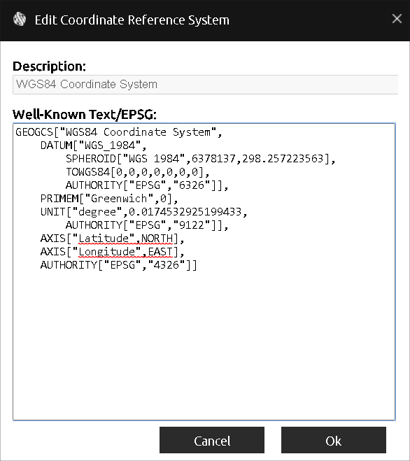
Coordinate System Dialog
2. Enter the coordinate system information in the Well-Known Text section of the dialog. The Well-Known Text representation of spatial reference systems, regulated by the Open Geospatial Consortium (OGC), provides a standard textual representation for coordinate system information. You can edit an existing WKT.
Note: If the WKT of your coordinate system references a particular grid shift file that was not bundled with the SGS application files, you can add the file by downloading it and placing it in the correct directory. See "Adding Grid Shift Files" in this chapter for information.
3. Click OK.
Adding Grid Shift (TIFF, GSB, GTX) Files
SGS includes a repository of grid shift files which are streamed dynamically to the various TerraExplorer clients. GeoTIFF grid shift files are used for accurately shifting and transforming layers between coordinate systems that have different datums. For backward compatibility, GSB and GTX grid shift files are also currently supported. If the repository doesn’t include certain grid shift files required by a client, they can be added to the SharedProjData subdirectory within the SharedDataPath folder defined in your deployment's settings file: See “Settings” in the “Getting Started” chapter for more information.
TerraExplorer clients (Desktop, Fusion, Mobile) dynamically use these files if the Well-Known Text (WKT) of a layer’s coordinate system references a particular grid shift file that was not bundled with their application files. See "TerraExplorer User Guide" for more information.
To add a missing grid shift file to your server:
1. Download the required grid shift file. See here in the " Verified WKT and Grid Shift Files" and "More WKT and Grid Shift Files" sections for links to common files.
2. Copy the downloaded file to the SharedProjData subdirectory inside the SharedDataPath folder defined in your deployment’s settings file:
§ Windows: appsettings.json
§ Docker: docker-compose.yaml
§ Kubernetes: deployment.yaml