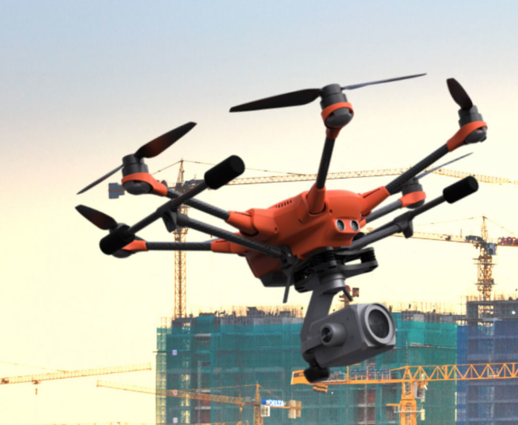
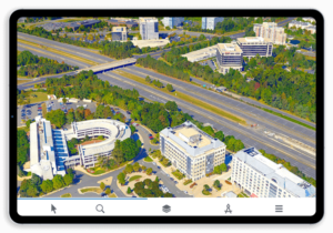
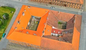
Skyline Software Systems is pleased to announce our partnership with Yuneec, a global commercial drone manufacturing company. This partnership gives Yuneec customers an opportunity to use their own data to create accurate 3D models and superior 2D maps with True Orthos using Skyline’s new PhotoMesh UAVTM package. The package also includes access to Skyline’s world-class data visualization and dissemination tools.
Using PhotoMesh UAVTM industries such as Emergency Management, Surveying & Mapping, and Architecture, Engineering & Construction that utilize UAV captures for project management, measurement and analysis, planning, or design will be able to meet their needs faster, more efficiently and with a higher degree of accuracy than ever before. Businesses will be able to seamlessly integrate the Skyline Suite into existing workflows due to the software output’s full compatibility with all industry standards.
“Working with a global UAV company like Yuneec is incredibly exciting, not only because it expands our reach, but it expands the capabilities of the entire UAV industry. The ability to view, manipulate, and analyze data in a sophisticated, yet easy to use, 3D landscape is arguably one of the most powerful tools UAV operators could possibly have.”
-Robert Peters, CEO Skyline Software Systems, Inc.
Skyline Software Systems, Inc. is a leading provider of 3D earth visualization software and services. Skyline offers a comprehensive platform of applications, tools, and services that enable the creation and dissemination of interactive, photo-realistic 3D environments.
Yuneec is one of the world’s largest drone manufacturers and represents safety, easy operation and transparent open-source architecture. Its passion for innovation is deeply rooted in the company and is reflected in hundreds of patents and over 15 years in electric aviation.
