Speyer, DE – February 26, 2020 – GGS GmbH (Ltd.), an industry leading aerial photogrammetry hardware and software solutions integrator, has signed a cooperation agreement with Skyline Software Systems, Inc. via Skyline’s subsidiary SkylineGlobe GmbH. This agreement combines the powerful capabilities of Skyline’s PhotoMesh and TerraExplorer with GGS’s advanced integration and support systems, to offer a comprehensive workflow for 3D reconstruction.

From their headquarters in Speyer, Germany, GGS will integrate Skyline’s products into their customers data processing pipelines and implement new photogrammetry surveying and processing solutions. This collaboration will allow customers access to a robust portfolio of the most cutting-edge geospatial visualization technologies available, including the industry’s leading 3D reconstruction solution.
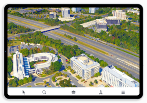
The addition of Skyline Software’s products into the GGS data-processing line will complete and optimize customers’ planning, sensor design, and integration processes while also providing cloud services and mobile access to data visualizations, such as flight management and 3-D modeling.
GGS’s custom, turnkey solutions vary from type of the aircraft/UAV, size and weight of the equipment to be installed, budget, flight altitudes, and requested accuracy. Additional capabilities such as custom sensor design for aircraft or UAV and development of additional, mission-critical hardware and software tools provide a comprehensive and intelligible visualization of customer geospatial data.
Learn more about GGS: https://ggs-speyer.de/home-12.html


