Optimize your data collection with Skyline’s proven geospatial solutions
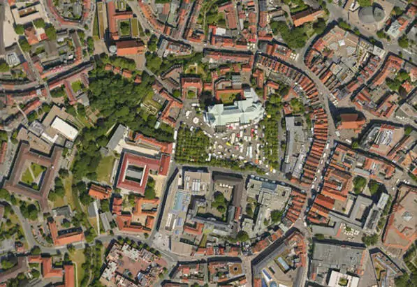
Make the most of your data collection:
Our flexible, budget friendly, performance-based solutions allow you to customize based on your project requirements and needs providing you with the perfect platform to leverage your image data for additional revenue generation.

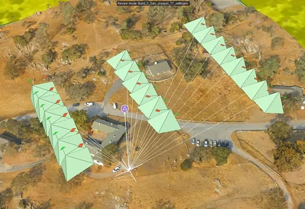
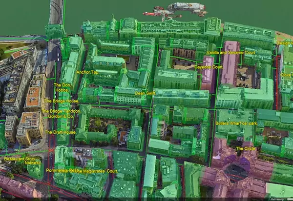
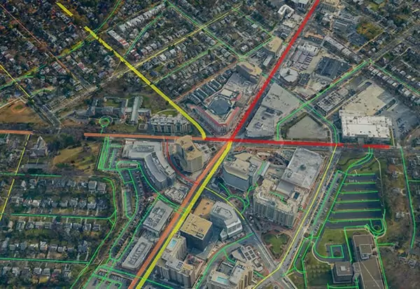
Combine aerial images from high altitudes with drone images from low altitudes in a single environment. Include co-registration with LiDAR from either aerial or terrestrial platforms to achieve street-level visualization and modeling and engineering grade accuracy and precision. Robust aerotriangulation engine with interactive control point editing and measurement for verification of accuracy and quality reporting.
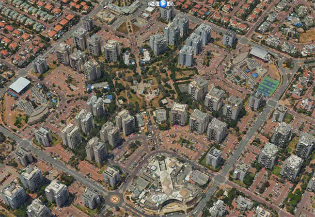
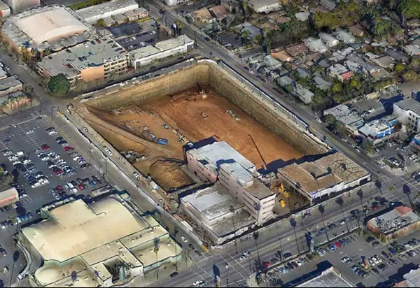
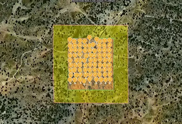
Supports many applications in the Architecture, Engineering, and Construction (AEC), as well as Agriculture, Mining, Utility Monitoring, and Inspection industries. In recent years the availability of data on demand from increasingly professional drone captures has created a need to be able to process data in short turnaround and ensure accuracy between collections. Skyline’s PhotoMesh and additional set of tools allow the data to be utilized with common ground control points, or reference points between existing datasets and new datasets. With fully actionable 3D data, TerraExplorer includes tools to automatically detect change between layers, perform volume calculations, 2D and 3D measurements, and view layers over time. These capabilities make any time-sensitive and live project accessible to end users and industry professionals in an intuitive and enriched environment, and increase the value of the data for real time analytics, decision making, and reporting.
© Skyline Software Systems Inc. 2024, All Rights Reserved, Skyline HQ Herndon Virginia
| Cookie | Duration | Description |
|---|---|---|
| cookielawinfo-checkbox-analytics | 11 months | This cookie is set by GDPR Cookie Consent plugin. The cookie is used to store the user consent for the cookies in the category "Analytics". |
| cookielawinfo-checkbox-functional | 11 months | The cookie is set by GDPR cookie consent to record the user consent for the cookies in the category "Functional". |
| cookielawinfo-checkbox-necessary | 11 months | This cookie is set by GDPR Cookie Consent plugin. The cookies is used to store the user consent for the cookies in the category "Necessary". |
| cookielawinfo-checkbox-others | 11 months | This cookie is set by GDPR Cookie Consent plugin. The cookie is used to store the user consent for the cookies in the category "Other. |
| cookielawinfo-checkbox-performance | 11 months | This cookie is set by GDPR Cookie Consent plugin. The cookie is used to store the user consent for the cookies in the category "Performance". |
| viewed_cookie_policy | 11 months | The cookie is set by the GDPR Cookie Consent plugin and is used to store whether or not user has consented to the use of cookies. It does not store any personal data. |