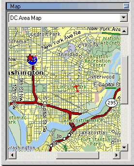
About the Navigation Map
The Navigation Map window provides quick and easy navigation through the entire terrain. It shows a raster-based map and the location and direction of the camera view on the map. The Navigation Map window offers a simple mechanism to integrate file or server-based maps into the application.
The Navigation Map supports the same file formats and servers as are supported for raster layers. See “Loading Raster Layers” in the “Imagery and Elevation Layers” chapter for information.
The Navigation Map Window