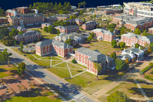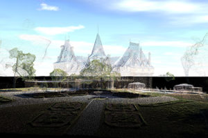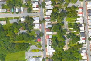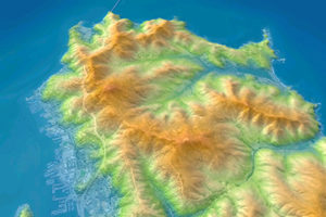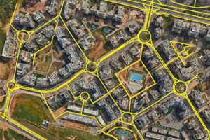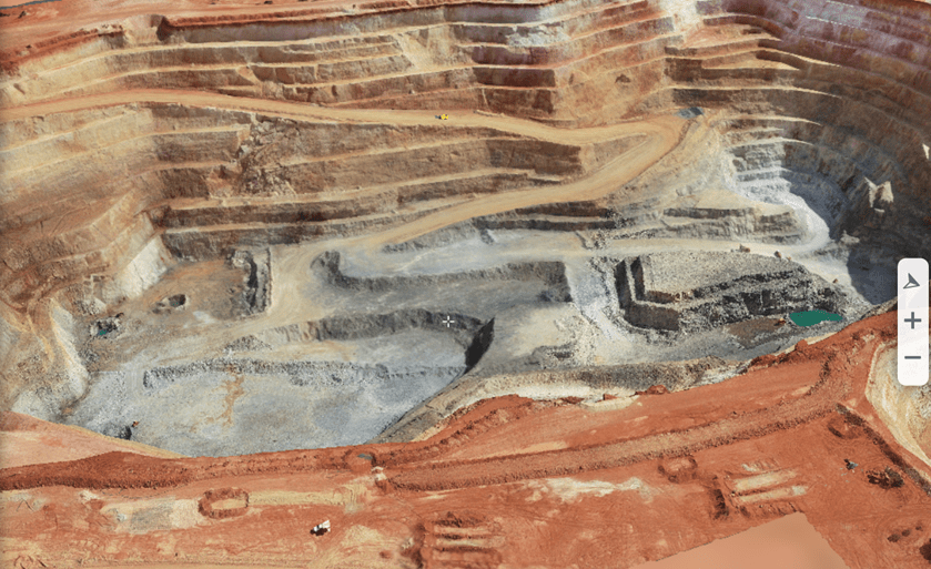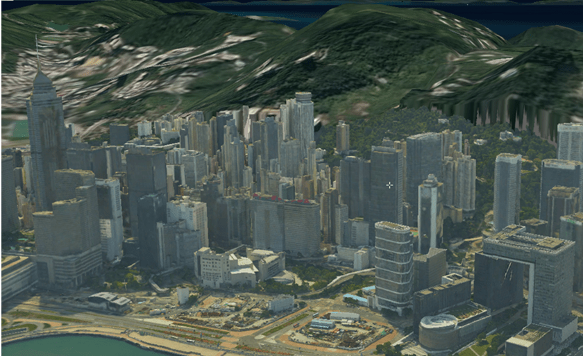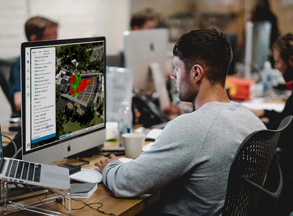
Web-based 3D geospatial viewer for exploring, analyzing, and editing high-resolution, stunningly realistic 3D content right in your web browser with no download or installation required. TerraExplorer Fusion enables you to view layers and objects from SkylineGlobe Server and other GIS data servers, perform measurements and analysis operations, and customize web applications tailored to any customer needs.
Available in two versions —Viewer and Plus—TerraExplorer Fusion caters to varying needs. Plus offers advanced analysis tools, as well as enhanced integration with SkylineGlobe Server, enabling efficient layer loading, feature layer editing, and direct project publishing on the server. For a detailed comparison of the two versions, see here.
- 3D Visualization
- Powerful Analysis
- Create & Edit
- Multi-Platform Support
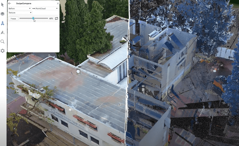
View terrain overlaid with imagery and elevation, 3D mesh, BIM, CAD, Lidar point cloud, and feature (vector) layers. Use TerraExplorer Fusion and the rest of the SkylineGlobe 3D platform to share geoportals with advanced visual and graphical information that improves understanding and allows agencies and constituents to collaborate in the decision making process.
Robust measurement, terrain analysis, and line of sight tools make it easy to extract vital intelligence from your geospatial data. Powerful Inspector tool displays the photos used to generate a 3D PhotoMesh model so you can view and inspect any section of your model without distortions or filters. These capabilities drive smarter decisions in mission planning, urban planning, inspection, and more…
With TerraExplorer Fusion Plus, you can load any layer type from SkylineGlobe Server: 3DML, elevation, feature, imagery, or point cloud. Loaded feature layers can be edited, and all modifications automatically saved to the server. Basic drawing objects are also supported.
TerraExplorer Fusion provides support for multiple platforms and browsers: Windows, Mac, Linux, Chrome, Edge, and more. This enables military forces using diverse equipment and platforms to effectively collaborate in mission planning and execution.
Explore and Analyze the 3D World
Zoom in and search the 3D World to gain new perspective. Increase understanding and improve decision making with a set of powerful tools for 3D World measurement and analysis.
- Distance
- Area
- Clear Path
- Contour
- Slope
- Inspector
- Volume
- Viewshed
- High & Low
- Terrain Profile
- Shadow
- Cross Section
Work Seamlessly with Data Created in TerraExplorer Pro
Consume data that was created and directly published from TerraExplorer Pro to Skyline Globe Server. No additional programming or processing is needed to load a project or layer into TerraExplorer Fusion.
Learn more about SkylineGlobe Server, or contact us for a free trial
Data Security
Layer access can easily be restricted to the users, groups, and sites that you want, by setting the desired view and access in SkylineGlobe Server. Users will only see and be able to load from SkylineGlobe Server the layers that are available to them, based on their login.
Customize and Integrate
Utilizing TerraExplorer Fusion (TEF) as a foundation, you can leverage the application framework and functionality, thus reducing the amount of programming required for your customized solution: create custom configurations, localize GUI texts, customize and expand TEF capabilities with HTML tools that directly call SGWorld interfaces, or create custom TEF applications by using iframes to embed the TEF window in your custom HTML. The TerraExplorer and Fusion APIs, can then be used together with any other script to customize your application.
For Developers
TerraExplorer’s rich application programming interface (API) allows you to easily develop powerful, customized 3D applications or integrate TerraExplorer capabilities in OEM applications.
