
Defense & Intelligence
3D geospatial visualization tools for mission success

Drone Inspection
Reduce risk, increase efficiency, and improve quality with Skyline’s virtual inspection solutions
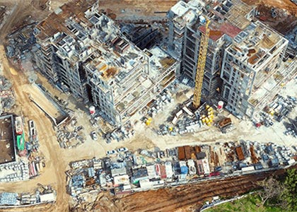
Architecture, Engineering, & Construction
Streamline site inspections, monitor construction progress, and unify data on a single platform

Mapping & Surveying
Optimize your data collection with Skyline’s proven geospatial solutions

City Planning
Complete city planning from your desktop with a high-impact digital twin
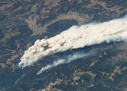
Emergency Response
3D GIS in support of disaster management
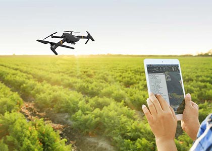
Precision Agriculture
Automate photogrammetry services for smart agriculture providers for optimized workflow and sustainability

PhotoMesh
Fully-automated, scalable photogrammetry. 3D reconstruction that transforms photos into quality, 2D and 3D geospatial data
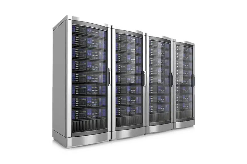
SkylineGlobe Server
Securely store and access 3D geospatial data where, when, and how you need it
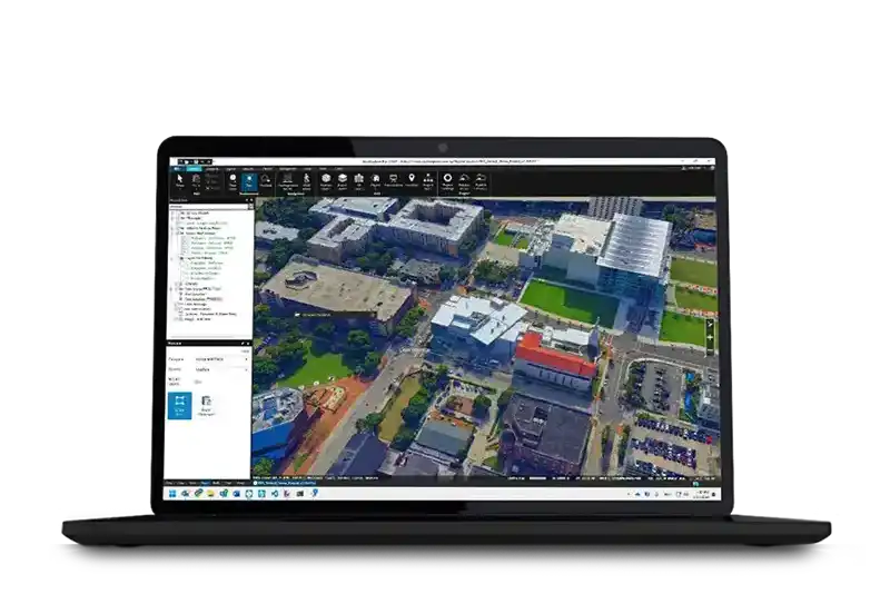
TerraExplorer
Create, view, analyze & share high-resolution 3D geospatial data
SkylineCloud Services
Skyline’s Software as a Service (SaaS) offers computing, storage and streaming services tailored to your needs